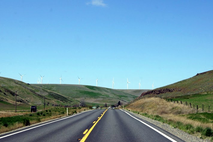
 After spending most of yesterday on Highway 12 in Idaho, today is the same highway in Washington, still scenic. [alpine-phototile-for-picasa-and-google-plus src=”user_album” uid=”117292386093793315084″ ualb=”5869848744875473825″ imgl=”fancybox” dltext=”Picasa” style=”floor” row=”4″ num=”150″ size=”220″ border=”1″ highlight=”1″ align=”center”...
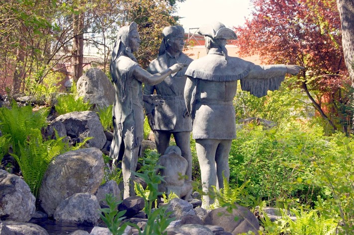 The statutes in their outdoor mall are outstanding. Probably the best Sacajawea that I have seen. N46.41265 W117.02633 Elevation 859 feet [alpine-phototile-for-picasa-and-google-plus src=”user_album” uid=”117292386093793315084″ ualb=”5869845622437523745″ imgl=”fancybox” dltext=”Picasa” style=”floor” row=”4″ num=”150″ size=”220″ border=”1″ highlight=”1″ align=”center”...
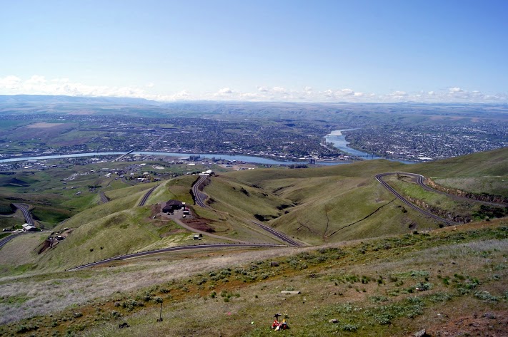 From this vantage point, you can see Idaho, Washington and Oregon. N46.46041 W117.01647 Elevation 2598 feet [alpine-phototile-for-picasa-and-google-plus src=”user_album” uid=”117292386093793315084″ ualb=”5869844869455354017″ imgl=”fancybox” dltext=”Picasa” style=”floor” row=”4″ num=”150″ size=”220″ border=”1″ highlight=”1″ align=”center”...
 Separated only by the Snake River, tourists and residents alike travel back and forth quite often. [alpine-phototile-for-picasa-and-google-plus src=”user_album” uid=”117292386093793315084″ ualb=”5869843879291425841″ imgl=”fancybox” dltext=”Picasa” style=”floor” row=”4″ num=”150″ size=”220″ border=”1″ highlight=”1″ align=”center”...
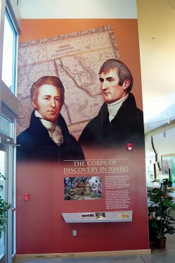
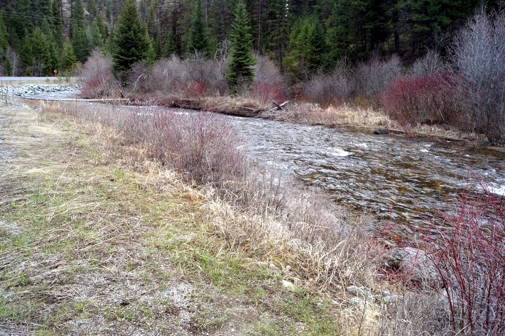 Highway 12 in Idaho is possibly the most scenic drive I have ever taken. The range of altitudes, weather, scenery, and history, all make this an unforgettable day of driving. It was much more than I expected today, it was remarkable. There were times when I was nervous about the visibility and driving conditions, but even then I was stunned by the beauty. Lewis and Clark faced these same conditions and the comments in their journals reflected the same awe that I felt today. At the Lolo Summit, I wanted to walk some of the same trails that the Corps traveled, the peaks of the Bitterroot Mountains. The Ranger there said I was welcome to do that, but she warned me that the snow varied from 5 feet to 7 feet on those trails. She also advised that the snow will probably remain on those trails well into June. Needless to say, I didn’t take that hike. Highway 12 follows the rivers from the summit to the valley below and there is new beauty at every turn. I can only imagine this drive in a convertible in warm weather or maybe a Harley. The altitude at Lolo summit was 5,366 feet. Daily data: Beginning odometer at Super 8 in Missoula, Montana was 29,794 miles. Ending odometer at Comfort Inn at Lewiston, Idaho is 30,019 miles. Fuel stop at Missoula. 10.368 gallons @ $3.259 for a total of $33.79. Meals for the day were $24.00 Lodging for tonight is $79.74. [alpine-phototile-for-picasa-and-google-plus src=”user_album” uid=”117292386093793315084″ ualb=”5869457400327670465″ imgl=”fancybox” dltext=”Picasa” style=”floor” row=”4″ num=”150″ size=”220″ border=”1″ highlight=”1″ align=”center”...
 Here are some questions for April 21st. How many states will be included in my journey from my home to the point where the Colombia River empties into the Pacific Ocean? Which of these states have the highest population? Which of these states is the largest in size? Click here to contact me with your...