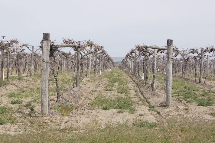
 Today’s travels show the variety of scenery on the Washington/Oregon State lines. A variety of terrains, vegetation and uses in just a relatively short distance. Some of the farm field photos make me think that their equipment must have seat belts and roll cages. They farm some pretty steep slopes and it makes some beautiful scenes. Daily data: Beginning odometer at Motel 6 in Clarkston, Washington was 30,210. Ending odometer at Days Inn in Kennewick, Washington is 30,448. One fuel stop at Clarkston. Odometer was 30,211. Bought 7,805 gallons @ $3.459 for a total of $27.00. Meals were $21.00 Lodging for tonight is $78.71. + April 23, 2013 [alpine-phototile-for-picasa-and-google-plus src=”user_album” uid=”117292386093793315084″ ualb=”5870213532276223009″ imgl=”fancybox” dltext=”Picasa” style=”floor” row=”4″ num=”150″ size=”220″ border=”1″ highlight=”1″ align=”center”...
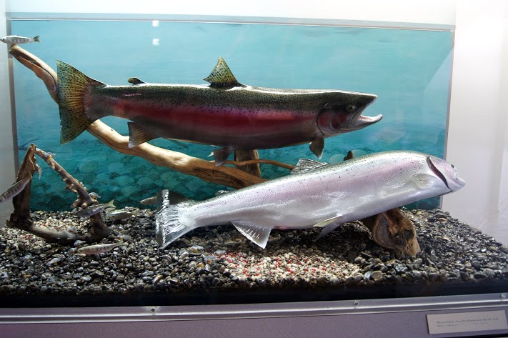 Of course this dam was not here when Lewis and Clark came through here, but it does give you an idea of how big the Columbia River really is. N45.93126 W119.29973 Elevation 269 feet [alpine-phototile-for-picasa-and-google-plus src=”user_album” uid=”117292386093793315084″ ualb=”5870211699186549761″ imgl=”fancybox” dltext=”Picasa” style=”floor” row=”4″ num=”150″ size=”220″ border=”1″ highlight=”1″ align=”center”...
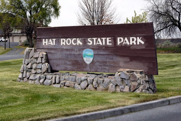 Why would the Corps of Discovery call this Hat Rock? More than one of their journals made note of this landmark. It was obvious to them from the river and they saw it on both their westbound journey and when they returned on their eastbound trip. N45.91765 W119.17062 Elevation 387 feet [alpine-phototile-for-picasa-and-google-plus src=”user_album” uid=”117292386093793315084″ ualb=”5870210419449301297″ imgl=”fancybox” dltext=”Picasa” style=”floor” row=”4″ num=”150″ size=”220″ border=”1″ highlight=”1″ align=”center”...
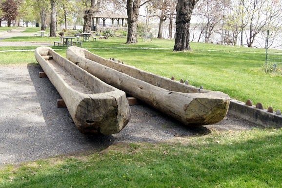 Finally, they saw the Columbia River. The whole Corps was excited to finally get on the Columbia River because it was “all down hill from here”. Traveling downstream was so much faster than what they had been doing, it seemed almost effortless. The State of Washington chose this significant location to honor Sacagawea by establishing Sacagawea State Park and establishing a modest museum in her honor. N46.20032 W119.03932 Elevation 371 feet [alpine-phototile-for-picasa-and-google-plus src=”user_album” uid=”117292386093793315084″ ualb=”5870207325787929281″ imgl=”fancybox” dltext=”Picasa” style=”floor” row=”4″ num=”150″ size=”220″ border=”1″ highlight=”1″ align=”center”...
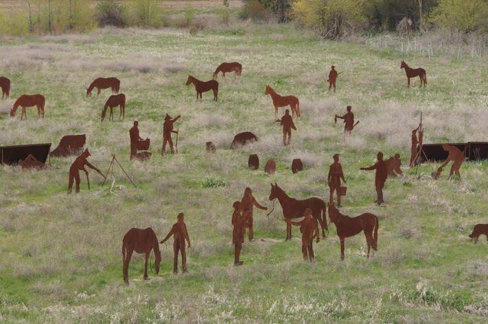 View both the campsite and all the players here. This campsite includes a pretty complete set of iron cutouts representing the people and activities of the campsite. Very interesting and well done. N46.34586 W117.93604 Elevation 1761 feet [alpine-phototile-for-picasa-and-google-plus src=”user_album” uid=”117292386093793315084″ ualb=”5870206100352623985″ imgl=”fancybox” dltext=”Picasa” style=”floor” row=”4″ num=”150″ size=”220″ border=”1″ highlight=”1″ align=”center”...


